
Swaagat Indian Restaurant
Region: Sydney and Area / Marconi Trail
Community: Sydney & Area
About Swaagat Indian Restaurant: An authentic Indian restaurant located on Prince Street in Sydney. Swaagat serves up tandoori dishes, appet...


Length: 10.3 km (6.4 mi) total
Hiking Time: 2+hr
Type of Trail: crushed stone, compacted earth, natural surface
Uses (no snow): walking, biking*
Uses (snow): snowshoeing, cross-country skiing*
Facilities: outhouses, garbage cans, benches, picnic tables, shelter
Dog Use: dogs must be on leash
Gov’t Topo Map: 11K01 (Sydney)
Rating (1-5): 3
Trailhead GPS: N 46 42” 35.3’ W 60 17” 55.0’
Access Information: From Exit 5A on Highway 125, drive south on Coxheath Road for 6 km (3.75 mi), to intersection with Blacketts Lake Road. Turn right into parking area between Knox United Church and community hall. Trail begins at forest.
Introduction: One of the best new hiking trail additions on Cape Breton Island is the Coxheath Hills Wilderness Trail, only officially opened in 2010. This multiple loop system is located very close to Sydney, yet enjoys a remarkable feeling of remoteness, particularly in its Western Loop.
Most of the trail is wide and surfaced in crushed stone, making it suitable for most walkers, even though the first few hundred metres require a fairly intense climb up the hillside.
The trail system’s highlight is the excellent “Pittman Lodge”, a shelter open year-round and available for overnight use by contacting the Coxheath Hills Wilderness Recreation Association.
Cautionary Notes: Wildlife. Steepness.
Ratings are designated from 1 to 5 indicating suitability for all fitness and experience levels, with 5 being suitable only for experienced and very fit outdoor people. Novices should only choose level 1 and 2 hikes, and work their way up. Level 4 and 5 hikes have indicators associated with their ratings.
Region: Sydney and Area / Marconi Trail
Community: Sydney & Area
About Swaagat Indian Restaurant: An authentic Indian restaurant located on Prince Street in Sydney. Swaagat serves up tandoori dishes, appet...

Region: Sydney and Area / Marconi Trail
Community: North Sydney & Area
Frequently referred to as a “hidden gem”, The Cellar Bar is tucked away in the undercroft of a historic bank building and is a welcome s...

Region: Sydney and Area / Marconi Trail
Community: Sydney & Area
Chef Ardon Mofford, award-winning chef and Cape Breton’s culinary leader welcomes you to Governors Pub & Eatery. This local ingredient...

Region: Sydney and Area / Marconi Trail
Community: Membertou
Make and take away a locally handcrafted Mi’kmaq bead work and listen to stories and teachings of our past. Includes entrance to the H...

Region: Sydney and Area / Marconi Trail
Community: Sydney & Area
Established in 2014. Located with the Premiere View of Sydney Waterfront. A True Dining Experience. Focus on Fresh Seafood, Modern Homestyle...
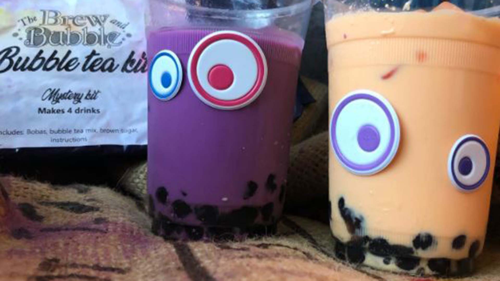
Experience handmade artisan loose leaf teas and bubble teas at Cape Breton’s own tea shop. Locally owned and operated, try one ...
Snowmobiling offers exhilarating experiences across winter landscapes, but safety must always be a priority.
Atlantic lobster from Cape Breton Island is renowned for being the freshest and some of the tastiest lobster in the world.
Tap your toes to fiddle tunes at a Ceilidh. See authentic Acadian crafts at Les Trois Pignons. Take a piece of Mi’kmaq culture home with you at a drum-making workshop. On Cape Breton Island, culture is all around you just waiting to be explored!
Cape Breton Island Ambassadors Davey and Sky were selected by Explore Canada as official ambassadors for their home province of Nova Scotia.
Cape Breton Island Ambassador Ashley George was selected by Explore Canada as an official ambassador for her home province of Nova Scotia.
When Cape Breton Island dons its blanket of snow, it transforms into a winter wonderland bursting with adventure and serene beauty.
Cape Breton Island is renowned for its breathtaking landscapes, and when winter descends, the island transforms into a wonderland of snow-covered trails, frosted trees, and serene vistas.
It’s time to find the heartiest, homemade meal on Cape Breton Island this winter. Our Island offers many options to chase away the chill.
Membertou is a vibrant Indigenous community nestled in the heart of Cape Breton Island, Nova Scotia. With its rich history, cultural attractions, and warm hospitality, Membertou offers visitors a unique and unforgettable experience.
From fossil hunting, searching for sea glass, and rockhounding to hiking, kayaking, and swimming the Northside's beaches offer a range of options. And with a history going back millions of years, there's plenty to see and learn about too.


