Highlights
Plan ahead
Popular hiking trails, including Skyline and Franey, see many visitors during the summer and fall months and trail parking lots fill up fast. Be #ParkSmart and plan ahead!
- Trails are busiest between 11:00 a.m. and 4:00 p.m.
- Have a back-up plan in case the parking lot is full.
- Contact the Cheticamp or Ingonish Visitor Centres to check on parking lot closures.
Keep it wild, keep it safe
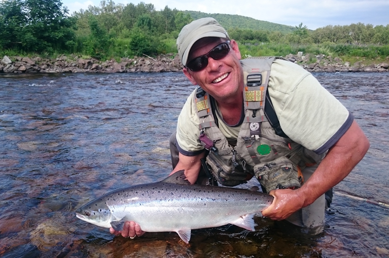
Do you know what to do if you encounter wildlife in the park? Before your next visit, familiarize yourself with moose, bear, and coyote safety. Be respectful and act responsibly.
Soyez prévoyant
Les sentiers de randonnée populaires, notamment les sentiers Skyline et Franey, sont fréquentés par de nombreux visiteurs au cours de l’été et de l’automne, et les aires de stationnement se remplissent rapidement. Soyez #ParcsFuté et planifiez votre visite!
- Les sentiers sont particulièrement achalandés de 11 h à 16 h.
- Prévoyez un plan de rechange au cas où le stationnement serait plein.
En pleine nature, en toute sécurité!
Savez-vous quoi faire si vous rencontrez un animal sauvage dans le parc? Avant votre prochaine visite, prenez connaissance des mesures de sécurité en présence d’orignaux, d’ours et de coyotes. Soyez respectueux et responsable.
Overview
French follows below | Le français suit ci dessous
A dramatic headland cliff overlooks the rugged coast from the end of this level trail. You can enjoy an eagle’s view of the Cabot Trail as it winds its way down the mountain and vehicles look like toys. Watch for whales in the Gulf of St. Lawrence from the viewing decks. Moose, bald eagles, bears and numerous boreal birds live in this habitat. Give moose a wide berth. You are required to stay on the boardwalk. This protects the fragile headland plants that are easily damaged by trampling and you, the visitor, from the dangers of steep cliffs and high winds. Fines may be issued for entering restricted areas. For the safety of visitors and wildlife, dogs are not permitted here. Wildlife like moose and bear become particularly agitated in the presence of dogs.
Trailhead: On the Cabot Trail on the top of French Mountain
Significant Feature: Headland cliff, ocean
Length: 6.5 km (4 mi) return; 8.2 km (5.1 mi) loop
Hiking Time: 1.5–3 hours
Elevation: 290–405 m (950–1330 ft.)
Main trail suitable for most skill levels. Boardwalk with steps at headland.
Trail Rating: Easy
GPS Co-ordinates for Trailhead (in decimal degrees): Lat: 46.737691 Long: -60.880377
Park is open year-round but full visitor services are only
available from mid-May until mid-October.
A park pass is required for hiking or use of other services in the park; park entry fee applies. Check in at the Parks Canada visitor centres in Chéticamp (16 Visitor Centre Rd., situated on the west side of the park) or in Ingonish (37637 Cabot Trail, on the east side of the park) to obtain passes, information on visitor safety and any other information you may need, including a trail location map.
For your comfort and safety:
- Stay on boardwalks to protect fragile vegetation.
- Dogs are not permitted on the Skyline Trail as they disturb wildlife, especially moose and bear.
- Do not approach, disturb or feed wild animals.
- Take along appropriate clothing – rapid weather changes often occur on the plateau or along the coast.
- Carry water with you, especially for longer trails, climbs or open barrens.
- Bring insect repellent as black flies and mosquitoes are common all summer.
- Stay on designated trails and boardwalks to protect fragile vegetation.
- Do not throw food or scraps along the trails or roads.
- Read “Keep it Wild, Keep it Safe” brochure, available at park visitor centres and on the Parks Canada website.
- Recreational drone use is prohibited within the national park for the safety of wildlife and other visitors.
Une falaise spectaculaire surplombe la côte accidentée depuis la fin de ce sentier plat. Vous pouvez profiter d’une vue d’aigle sur la Cabot Trail alors qu’elle descend la montagne et que les véhicules ressemblent à des jouets. Surveillez les baleines dans le golfe du Saint-Laurent depuis les ponts d’observation. Des orignaux, des pygargues à tête blanche, des ours et de nombreux oiseaux boréals vivent dans cet habitat. Donnez une large place à l’orignal. Vous devez rester sur la promenade. Cela protège les plantes fragiles des promontoires qui sont facilement endommagées par le piétinement et vous, le visiteur, des dangers des falaises abruptes et des vents violents. Des amendes peuvent être infligées pour l’entrée dans des zones réglementées. Pour la sécurité des visiteurs et de la faune, les chiens ne sont pas autorisés ici. Les animaux sauvages comme l’orignal et l’ours deviennent particulièrement agités en présence de chiens.
Début du sentier : Sur la Cabot Trail au sommet de la montagne des Français
Attraits particuliers : Falaises, promontoire, océan
Le sentier principal convient à la plupart des randonneurs. Trottoir de bois comportant des marches au promontoire. Boucle accidentée.
Longueur : 6,5 km (4 mi) aller-retour ; Boucle de 8,2 km (5,1 mi)
Durée de la randonnée : 1,5 à 3 heures
Altitude : 290 à 405 m (950 à 1330 pi) Sentier principal adapté à la plupart des niveaux de compétence. Promenade avec marches au promontoire.
Niveau de difficulté : Facile
Coordonnées GPS du point de départ du sentier (en degrés décimaux) : Lat: 46.737691 Long: -60.880377
Le parc est ouvert toute l’année, mais les services aux visiteurs ne sont disponibles que de la mi-mai à la mi-octobre.
Un laissez-passer est nécessaire pour faire de la randonnée ou utiliser d’autres services dans le parc ; le droit d’entrée au parc s’applique. Rendez-vous aux centres d’accueil de Parcs Canada à Chéticamp (16 Visitor Centre Rd., situé du côté ouest du parc) ou à Ingonish (37637 Cabot Trail, du côté est du parc) pour obtenir des laissez-passer, des renseignements sur la sécurité des visiteurs et toute autre information dont vous pourriez avoir besoin, y compris une carte de localisation des sentiers.
Pour votre confort et votre sécurité :
- Restez sur les trottoirs en bois pour protéger la végétation fragile.
- Les chiens sont interdits sur le Skyline Trail car ils dérangent les animaux de la faune, en particulier les orignaux et les ours.
- N’approchez pas, ne dérangez pas et ne nourrissez pas les animaux sauvages.
- Emportez des vêtements appropriés – les changements de temps sont souvent rapides sur le plateau ou le long de la côte.
- Emportez de l’eau avec vous, en particulier pour les sentiers plus longs, les ascensions ou les landes ouvertes.
- Apportez un insectifuge, car les mouches noires et les moustiques sont fréquents tout au long de l’été.
- Restez sur les sentiers et les trottoirs de bois désignés afin de protéger la végétation fragile.
- Ne jetez pas de nourriture ou de déchets le long des sentiers ou des routes.
- Lisez la brochure « En pleine nature, en toute sécurité », disponible dans les centres d’accueil du parc et sur le site Web de Parcs Canada.
- L’utilisation d’un drone à des fins récréatives est interdite dans le parc national pour la sécurité de la faune et des autres visiteurs.